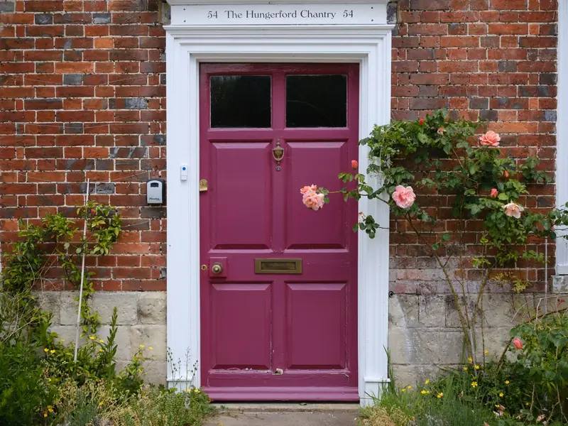
Pink Door with Roses
Hungerford, England · 51.41°N 1.51°W
Deep magenta, climbing roses, and a brick wall that does most of the composition.
Photo: Ben Prater / Pexels · Pexels License
pink atlas · 100 places
Doors, facades, houses, details, landmarks, shops, and churches that happen to be pink. City coordinates, not a map. No cookies, no analytics, no tiles — just a growing atlas.
coordinates · not a map · hover a dot
100 places
Hungerford, England · 51.41°N 1.51°W
Deep magenta, climbing roses, and a brick wall that does most of the composition.
Photo: Ben Prater / Pexels · Pexels License
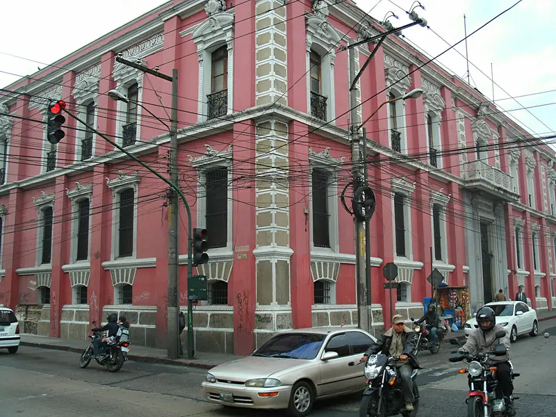
Guatemala City, Guatemala · 14.63°N 90.51°W
A red-pink corner building with white trim, caught in flat afternoon light.
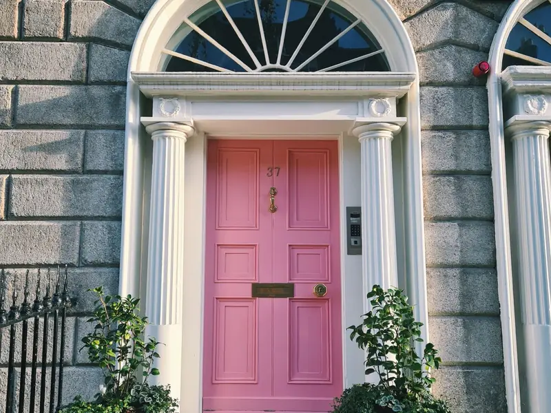
Dublin, Ireland · 53.35°N 6.26°W
A Georgian doorway framed by stone pillars; the kind of detail you notice only when you stop.
Photo: Olga K / Pexels · Pexels License
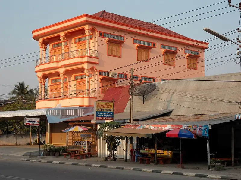
Savannakhet, Laos · 16.57°N 104.75°E
A pink-orange building at sunset, with a shopfront glowing underneath.
Photo: Chaoborus / Wikimedia Commons · CC BY-SA 3.0
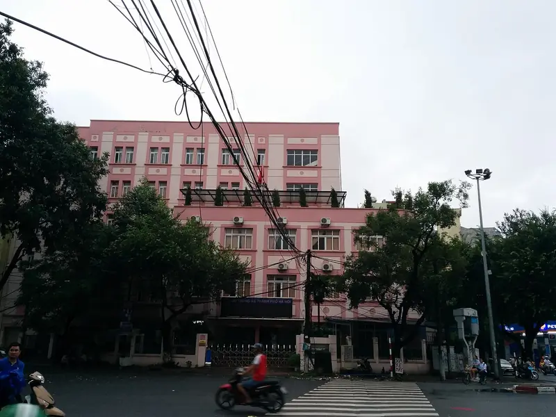
Hanoi, Vietnam · 21.02°N 105.86°E
A dusty pink facade behind street trees and power lines.
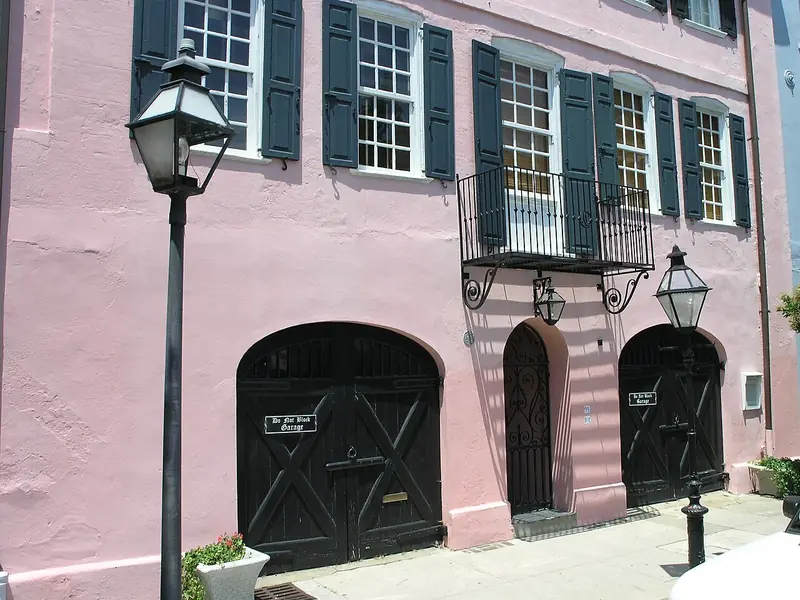
Charleston, SC, USA · 32.78°N 79.93°W
Pink walls, dark shutters, and a doorway that looks like it has been there forever.
Photo: Daniel Mayer / Wikimedia Commons · CC BY-SA 3.0
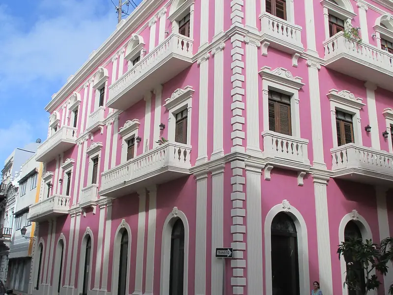
San Juan, Puerto Rico · 18.47°N 66.12°W
Pink and white stripes on a corner building in old San Juan.
Photo: User:Mattes / Wikimedia Commons · CC BY 2.0 de
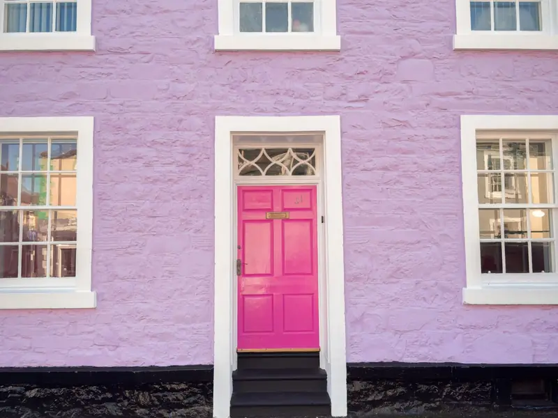
Kirkcudbright, Scotland · 54.84°N 4.05°W
A saturated pink door against a lilac wall in a small Scottish town.
Photo: Jilly Noble / Pexels · Pexels License
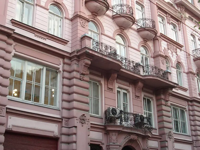
Lviv, Ukraine · 49.84°N 24.03°E
A pale pink house with layered balconies and arched windows.
Photo: Bstraetemans / Wikimedia Commons · CC BY-SA 4.0
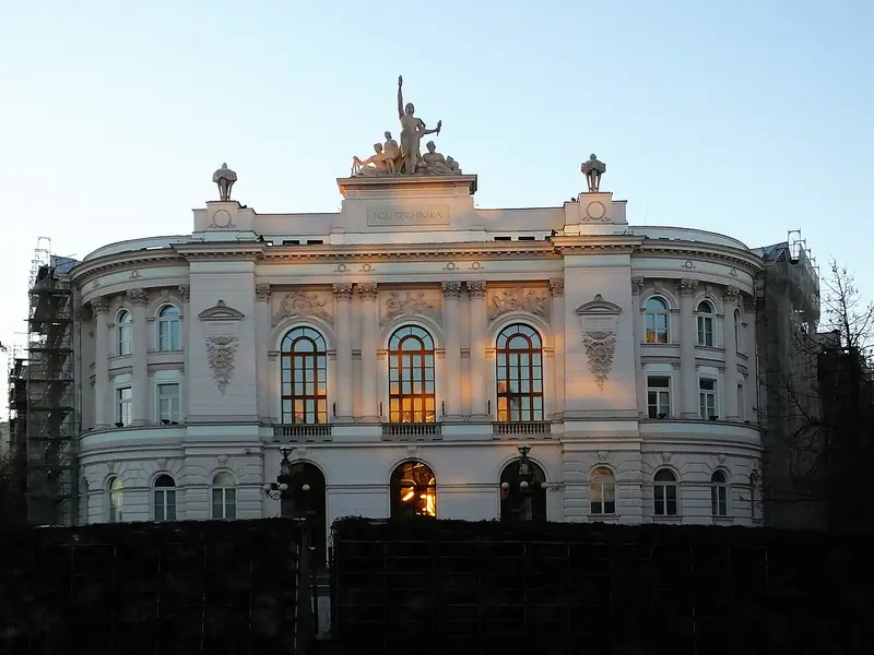
Warsaw, Poland · 52.22°N 21.01°E
The polytechnic facade repainted in pink and white; a landmark that refuses to blend in.
Photo: Panek / Wikimedia Commons · CC BY-SA 3.0 pl
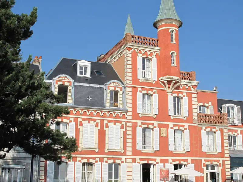
Le Crotoy, France · 50.21°N 1.62°E
A pink villa with turrets on the northern French coast.
Photo: Tangopaso / Wikimedia Commons · Public domain
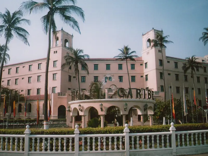
Cartagena, Colombia · 10.39°N 75.48°W
The Hotel Caribe: pink arches, palms, and a lot of shade.
Photo: Paolo1904 / Wikimedia Commons · CC BY-SA 3.0
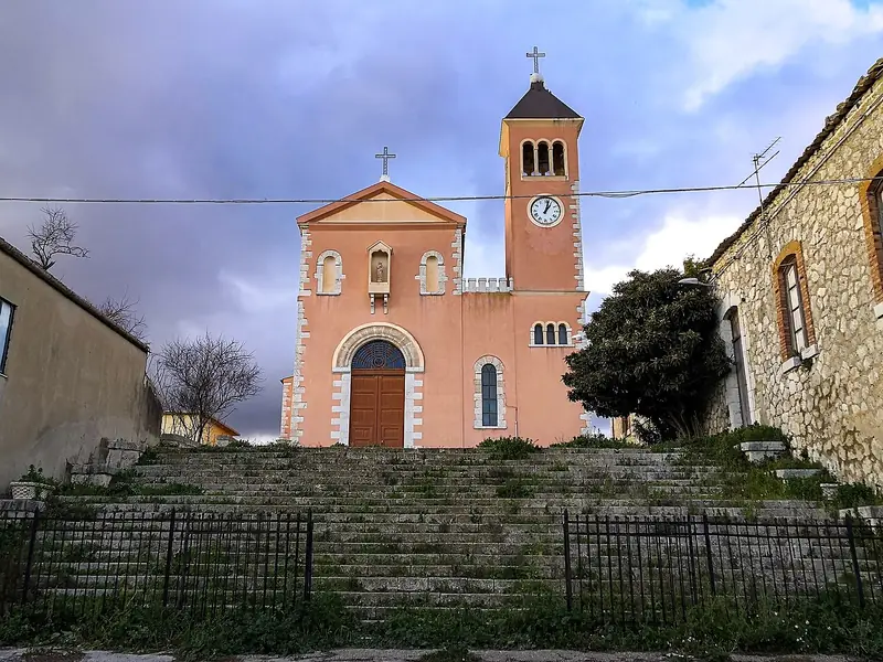
Caltanissetta, Sicily, Italy · 37.39°N 14.01°E
A pink church with a bell tower on a Sicilian hillside.
Photo: Alessandro Miccichè / Wikimedia Commons · CC BY-SA 4.0
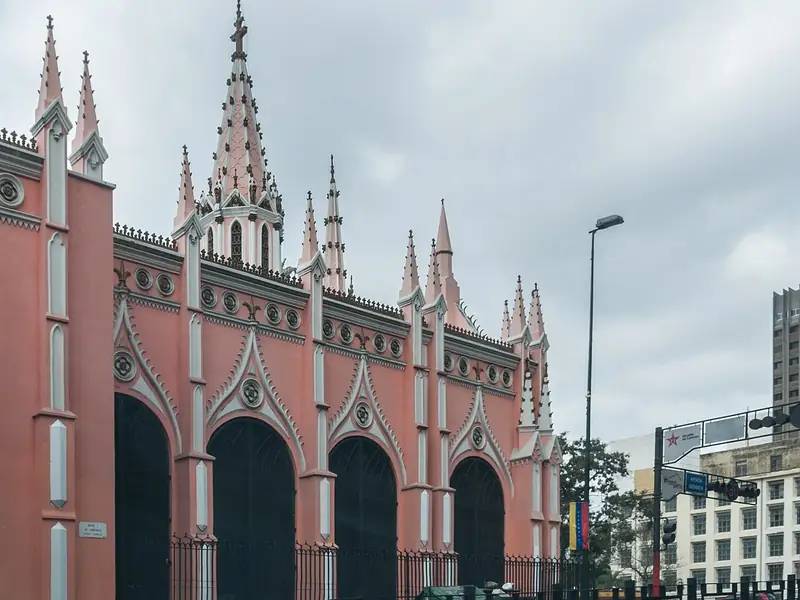
Caracas, Venezuela · 10.51°N 66.91°W
A long pink Neo-Gothic side facade with pointed arches in central Caracas.
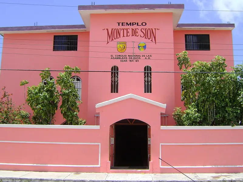
Cancún, Mexico · 21.16°N 86.85°W
A bright pink church in Cancún, with a tower and a walled courtyard.
Photo: Rayttc / Wikimedia Commons · Public domain
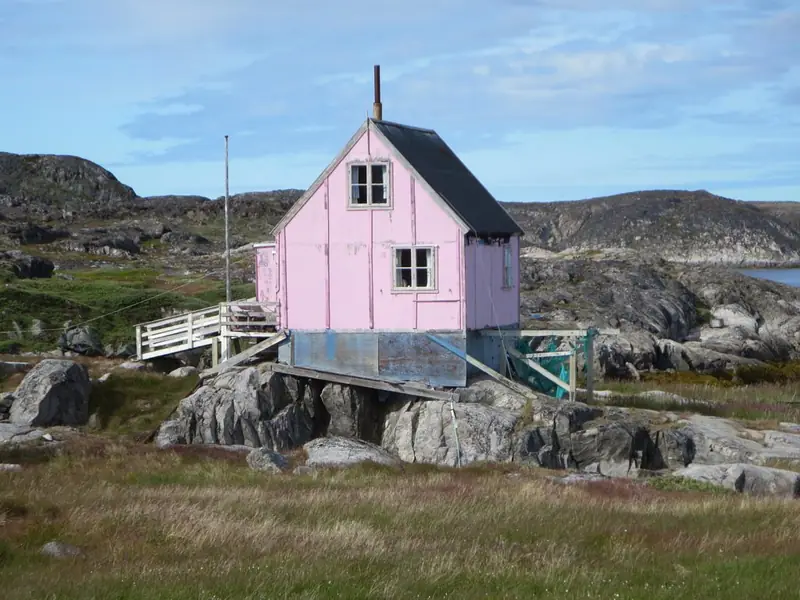
Itilleq, Greenland · 66.58°N 53.50°W
A small pink house high and dry on the rocks of a Greenland settlement.
Photo: David Stanley / Wikimedia Commons · CC BY 2.0
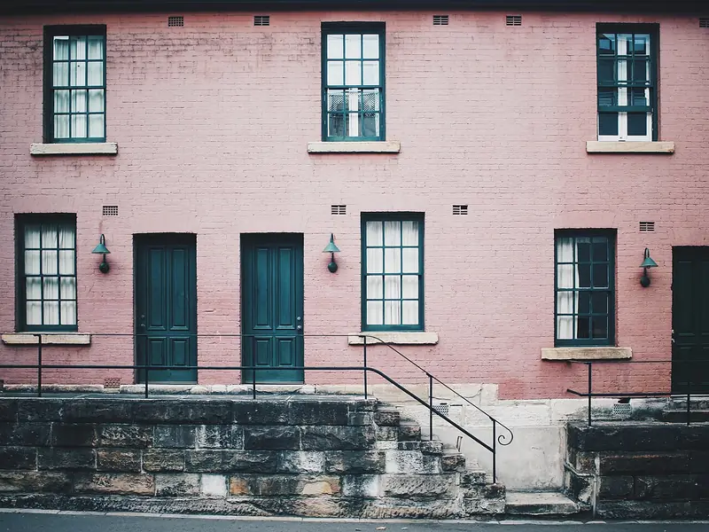
Sydney, Australia · 33.86°S 151.21°E
A pink facade in Sydney's oldest quarter, with dark doors and stone trim.
Photo: Zachary Staines / Wikimedia Commons · CC0 1.0
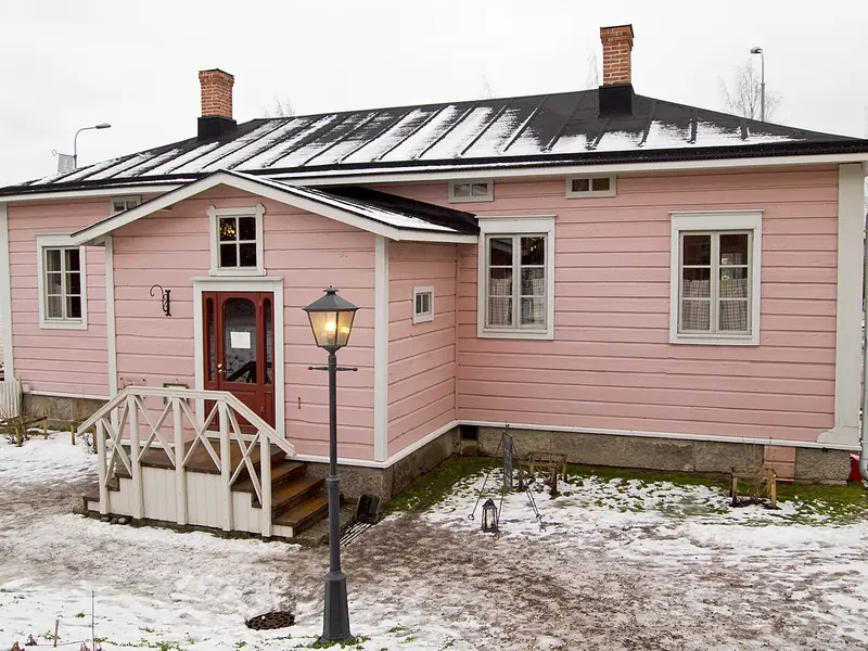
Jyväskylä, Finland · 62.24°N 25.74°E
A pink wooden house in Jyväskylä's Toivola Old Yard, under snow.
Photo: Tiia Monto / Wikimedia Commons · CC BY-SA 3.0
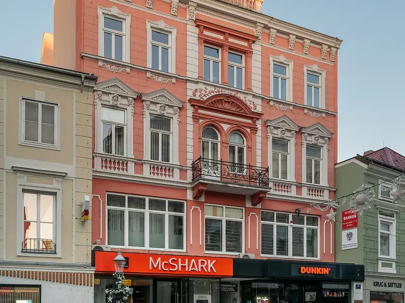
Sankt Pölten, Austria · 48.21°N 15.62°E
A pink townhouse with ornate window surrounds on a quiet Austrian street.
Photo: Tournasol7 / Wikimedia Commons · CC BY 4.0
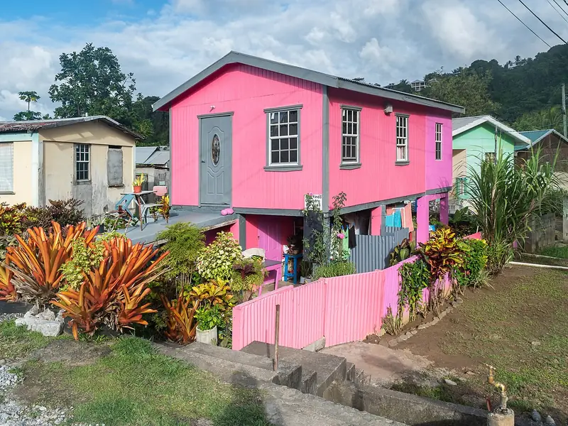
Calibishie, Dominica · 15.59°N 61.35°W
A bright pink house above a garden of tropical plants in Dominica.
Photo: Tournasol7 / Wikimedia Commons · CC BY 4.0
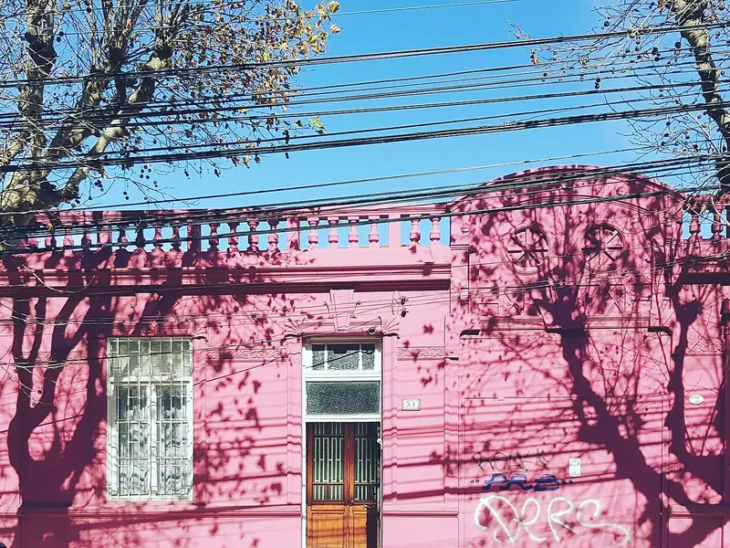
Viña del Mar, Chile · 33.03°S 71.56°W
A pink house with tree shadows across its facade in a Chilean coastal city.
Photo: Pipe A. pipeaguileram / Wikimedia Commons · CC0 1.0
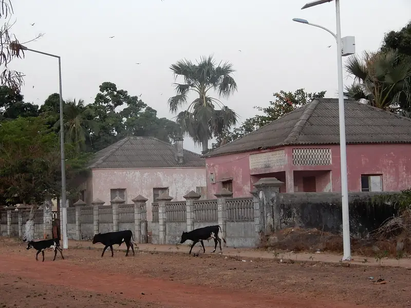
Bolama, Guinea-Bissau · 11.58°N 15.47°W
A pink colonial-era building on Bolama's main avenue, with goats in the street.
Photo: Helena Maria Pestana / Wikimedia Commons · CC BY-SA 4.0
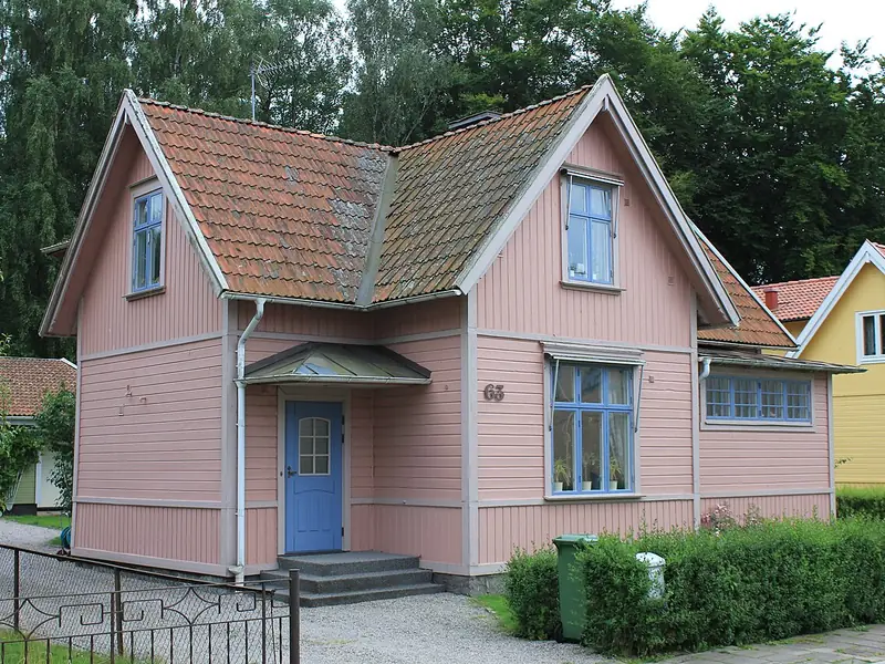
Vänersborg, Sweden · 58.38°N 12.32°E
A pink wooden house with white trim in a Swedish town.
Photo: Øyvind Holmstad / Wikimedia Commons · CC BY-SA 3.0
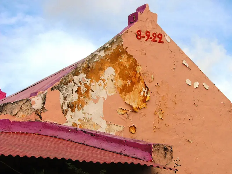
Aruba, Dutch Caribbean · 12.52°N 69.97°W
A peeling pink gable in Aruba, with the date 1922 painted near the top.
Photo: Ginafromaruba / Wikimedia Commons · CC BY-SA 3.0
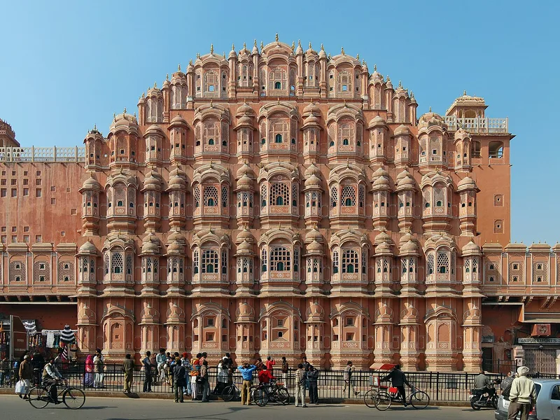
Jaipur, India · 26.92°N 75.83°E
Hawa Mahal, Jaipur, India.
Photo: Marcin Białek / Wikimedia Commons · CC BY-SA 4.0
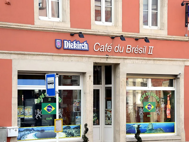
Esch-sur-Alzette, Luxembourg · 49.49°N 5.98°E
De «Café du Brésil II», an der Avenue de la Gare zu Esch .
Photo: Jwh / Wikimedia Commons · CC BY-SA 3.0 lu
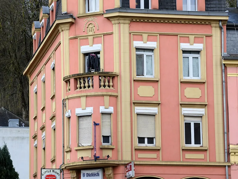
Differdange, Luxembourg · 49.52°N 5.89°E
D'"Brasserie Bei der Gemeng" zu Déifferdeng an der Rue de la Montagne.
Photo: Jwh / Wikimedia Commons · CC BY-SA 3.0 lu
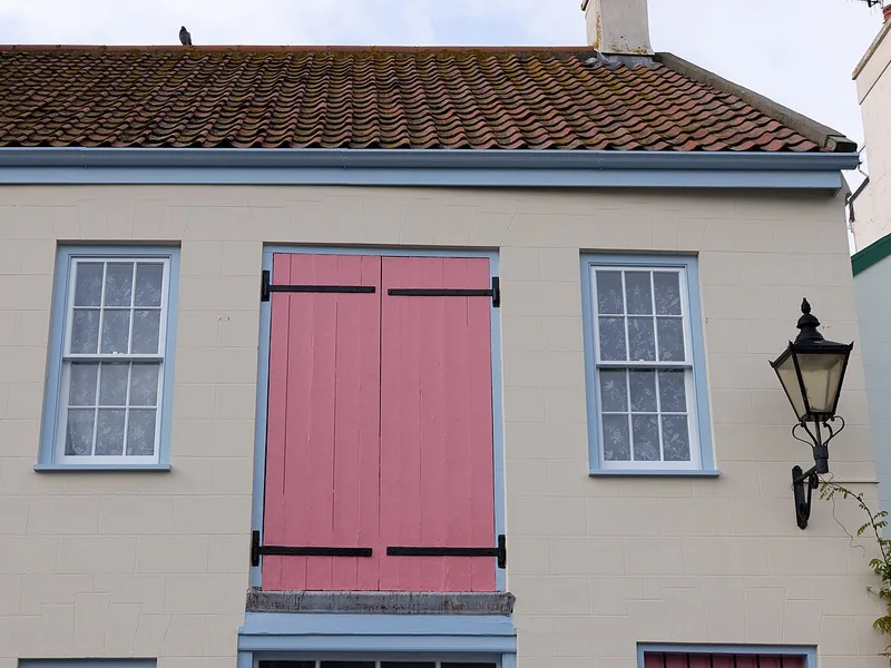
St Helier, Jersey · 49.19°N 2.11°W
House on Hue Street in St Helier, Jersey.
Photo: Danrok / Wikimedia Commons · CC BY-SA 4.0
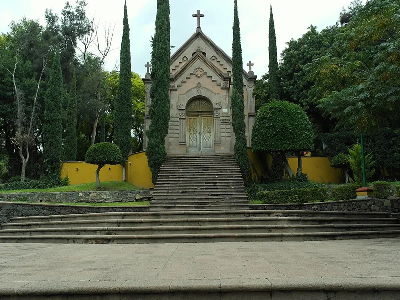
Querétaro, Mexico · 20.59°N 100.41°W
This is a photo of a monument in Mexico, identified by ID
Photo: Edgar Rangel Arreguin / Wikimedia Commons · CC BY-SA 3.0
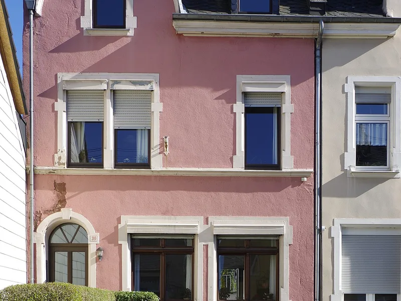
Trier, Germany · 49.76°N 6.66°E
Trier, Nellstr. 39
Photo: Berthold Werner / Wikimedia Commons · CC BY-SA 4.0
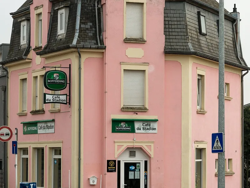
Bettembourg, Luxembourg · 49.51°N 6.11°E
De Café du Stadion an der Route de Mondorf zu Beetebuerg .
Photo: Jwh / Wikimedia Commons · CC BY-SA 3.0 lu
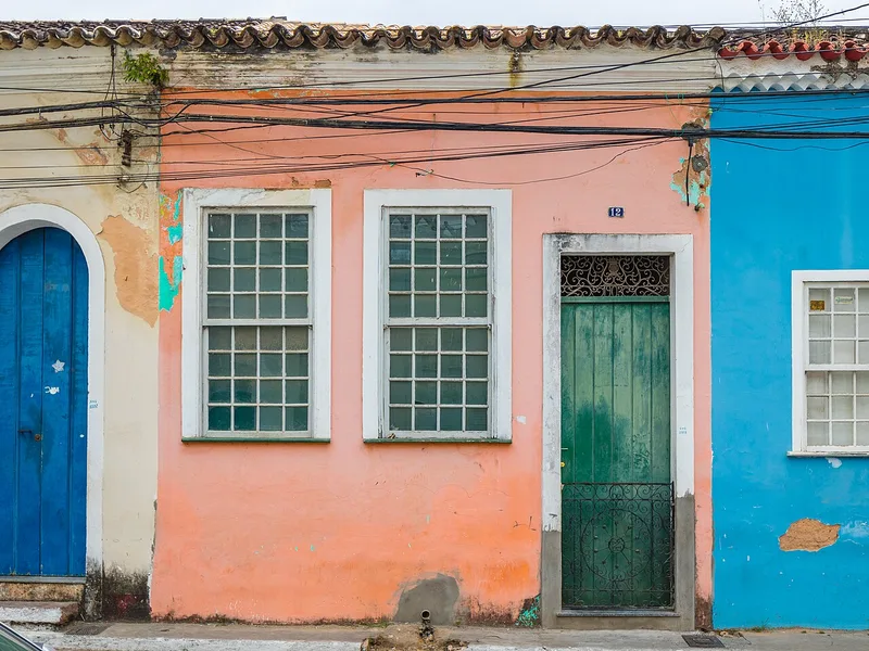
Cachoeira, Brazil · 12.60°S 38.96°W
House at Rua Ana Nery 12, Cachoeira, Bahia, Brazil.
Photo: Paul R. Burley / Wikimedia Commons · CC BY-SA 4.0
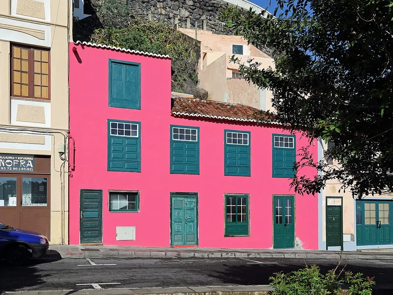
Santa Cruz de La Palma, Spain · 28.69°N 17.76°W
Santa Cruz de La Palma (Canary Islands): Plaza San Fernando
Photo: Marc Ryckaert ( MJJR ) / Wikimedia Commons · CC BY 3.0
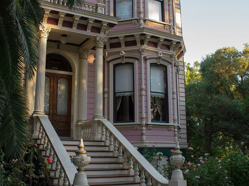
Sacramento County, United States · 38.39°N 121.51°W
This is an image of a place or building that is listed on the National Register of Historic Places in the United States of America . Its reference number is 79000521 ( Wikidata ).
Photo: Katiebug7 / Wikimedia Commons · CC BY-SA 4.0
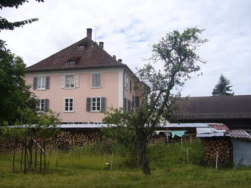
Bassersdorf, Switzerland · 47.44°N 8.63°E
Ehemaliger Gasthof zum Adler von Nordosten aus gesehen.
Photo: Abderitestatos / Wikimedia Commons · CC BY 3.0
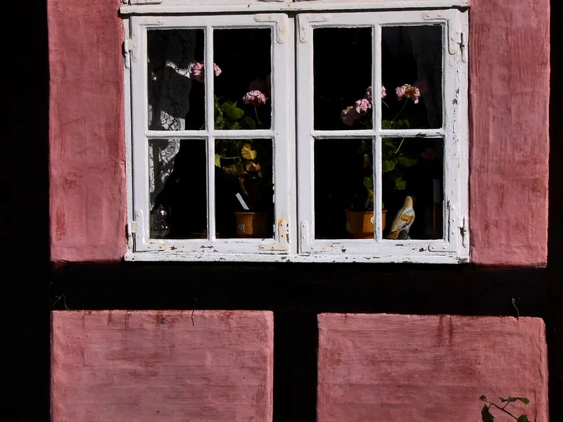
Rønne, Denmark · 55.10°N 14.70°E
Rønne. I den gamle bydel.
Photo: Guillaume Baviere from Uppsala, Sweden / Wikimedia Commons · CC BY-SA 2.0
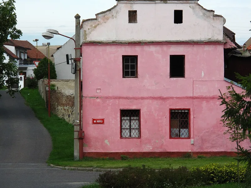
Chotěšov, Czechia · 50.44°N 14.08°E
Pink house in Chotěšov village, Litoměřice District, Czech Republic.
Photo: Juan de Vojníkov / Wikimedia Commons · CC BY-SA 3.0
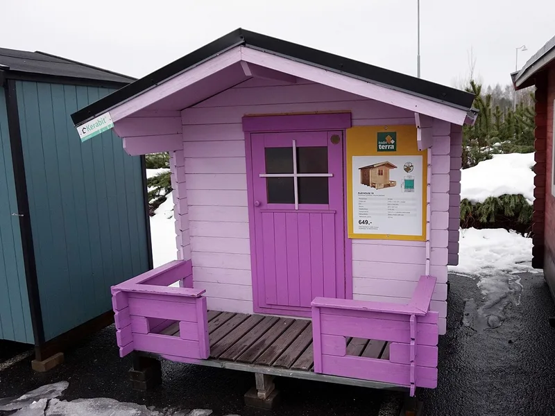
Jyväskylä, Finland · 62.29°N 25.72°E
A pink playhouse on sale in Jyväskylä.
Photo: Tiia Monto / Wikimedia Commons · CC BY-SA 4.0
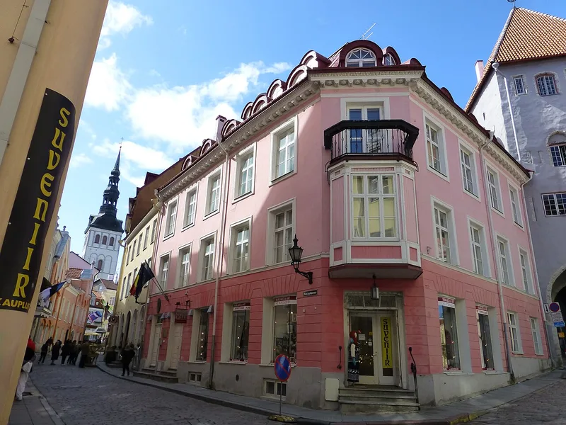
Tallinn, Estonia · 59.44°N 24.74°E
Vivian Vau shoes and souvenirs, Rataskaevu 2
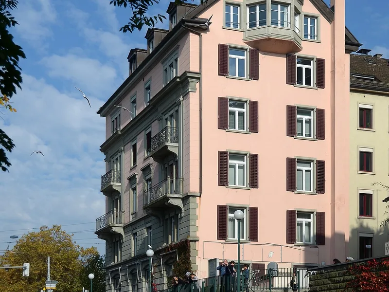
Zurich, Switzerland · 47.38°N 8.54°E
Schanzengraben in Zürich ( Switzerland )
Photo: Roland zh / Wikimedia Commons · CC BY-SA 3.0
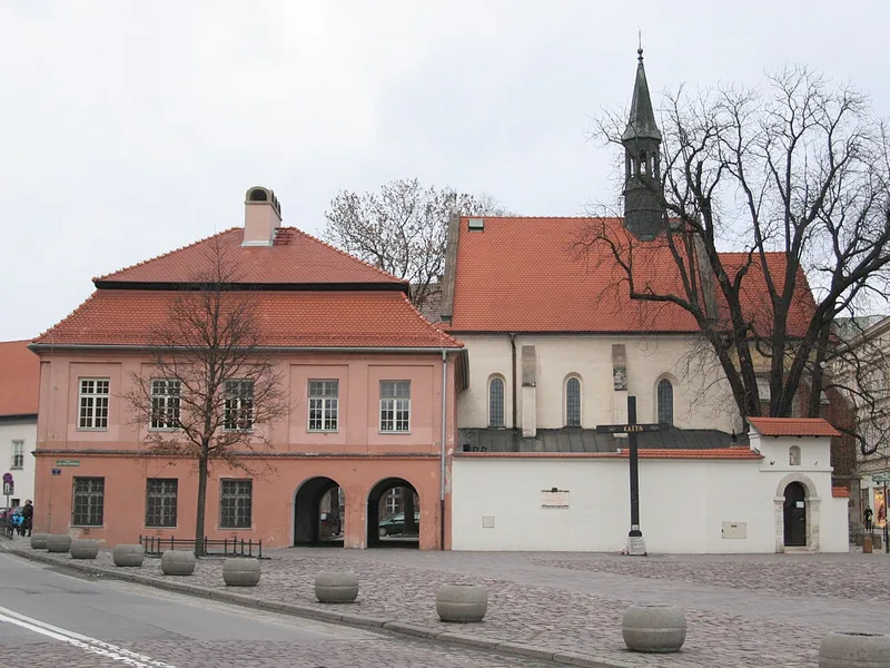
Kraków, Poland · 50.06°N 19.94°E
Krakow - February 2012
Photo: Alexander Baranov from Montpellier, France / Wikimedia Commons · CC BY 2.0
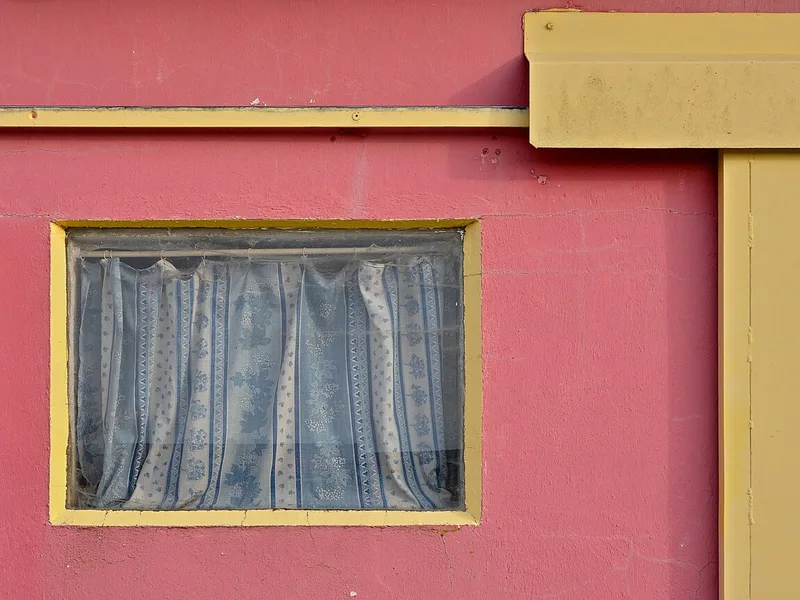
Marennes-Hiers-Brouage, France · 45.79°N 1.12°W
Details of a painted cabin used in oyster farming, port of la Cayenne, Marennes, Charente-Maritime, France.
Photo: JLPC / Wikimedia Commons · CC BY-SA 3.0
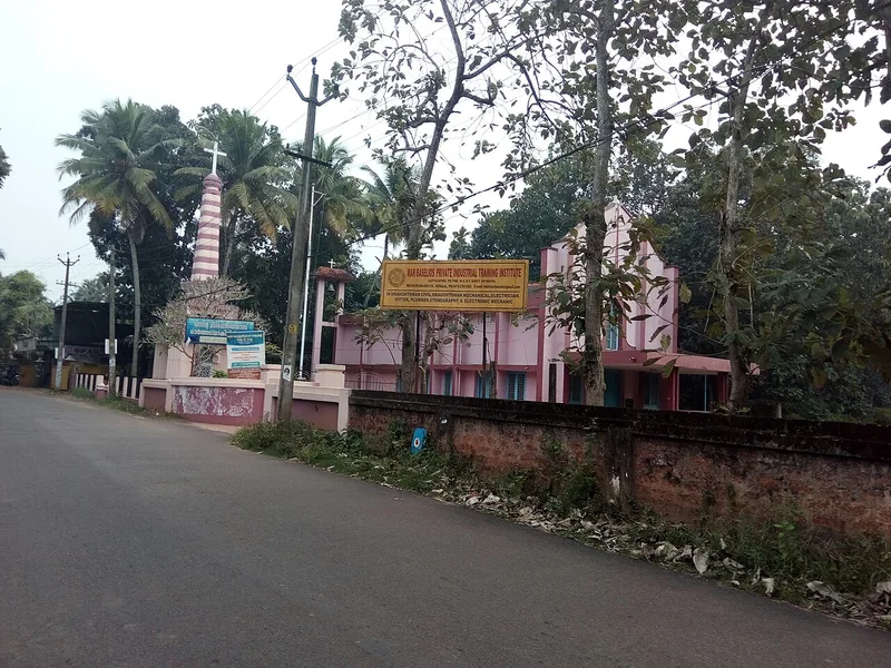
Kerala, India · 9.27°N 76.32°E
St Gregorio's church thekke muck
Photo: Dvellakat / Wikimedia Commons · CC BY-SA 4.0
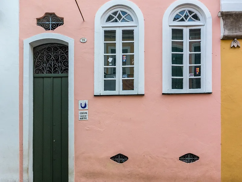
Salvador, Brazil · 12.97°S 38.51°W
Oxum Casa de Arte, 18 Rua Maciel de Baixo, Salvador, Bahia, Brazil.
Photo: Paul R. Burley / Wikimedia Commons · CC BY-SA 4.0
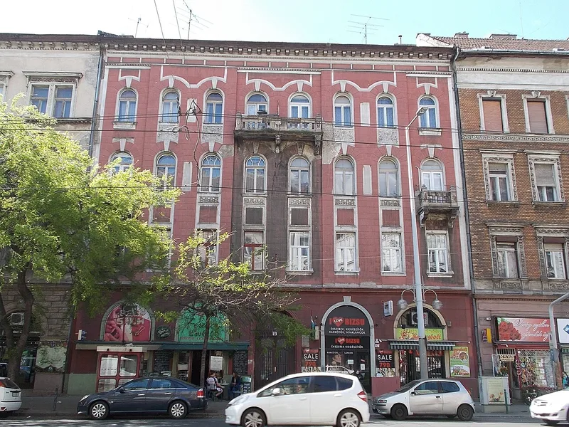
Budapest, Hungary · 47.48°N 19.07°E
Pink facade. Dwelling building with shops on ground floor. - 36 Ferenc körút, Középső-Ferencváros, Budapest District IX., Hungary .
Photo: Globetrotter19 / Wikimedia Commons · CC BY-SA 3.0
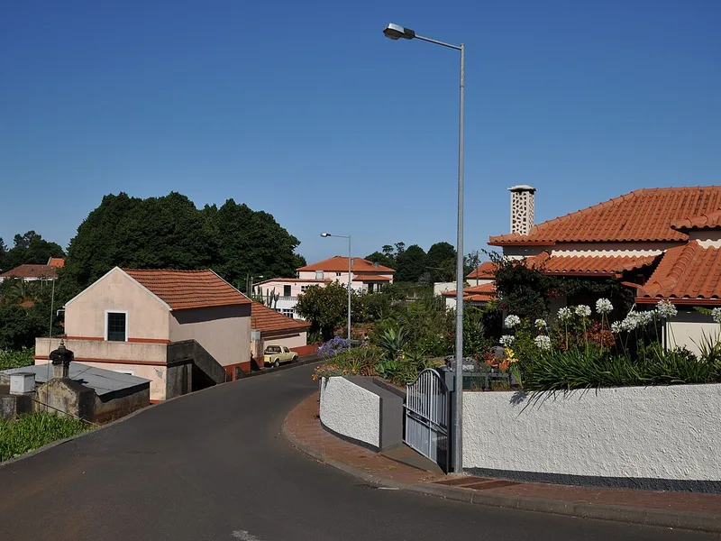
Calheta, Portugal · 32.75°N 17.20°W
Houses in Prazeres, Madeira, Portugal, June/July 2011
Photo: anagh / Wikimedia Commons · CC BY-SA 3.0
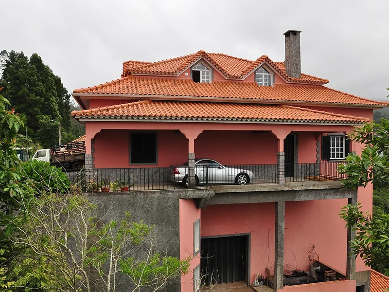
Santana, Portugal · 32.80°N 16.87°W
Santana, Madeira, Portugal, June/July 2011
Photo: anagh / Wikimedia Commons · CC BY-SA 3.0
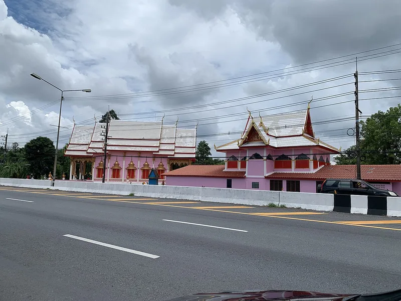
Nakhon Nayok, Thailand · 14.17°N 101.26°E
Wat Pathum Wongsawat (Wat Ban Mai), Pak Phli, Thailand
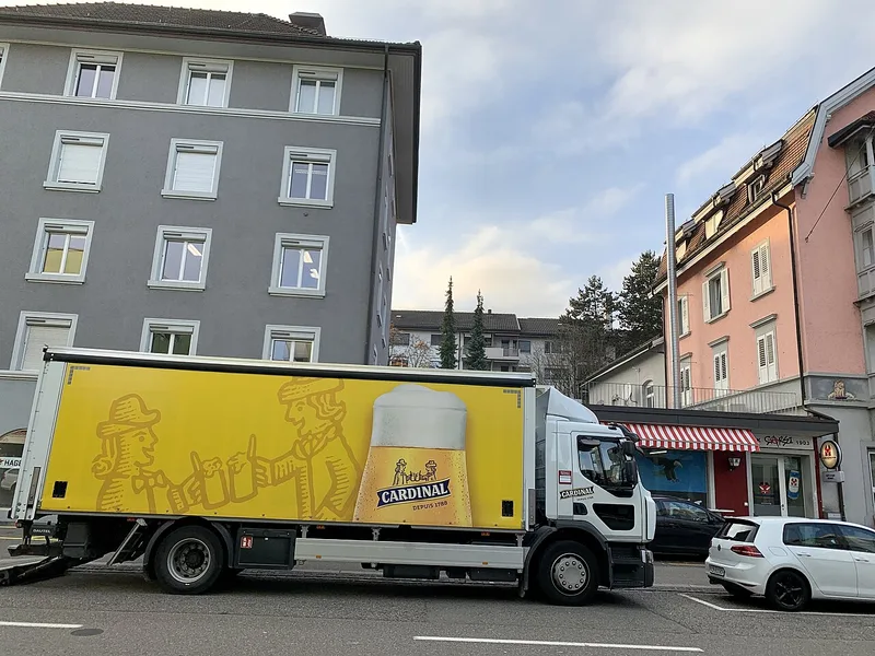
Zurich, Switzerland · 47.41°N 8.55°E
Friesstrasse, Oerlikon in Zurich - Ank Kumar, Infosys Limited 2019
Photo: Ank Kumar / Wikimedia Commons · CC BY-SA 4.0
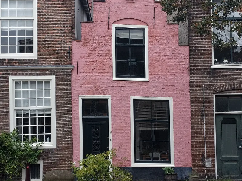
Leiden, Netherlands · 52.16°N 4.48°E
Leiden - Groenhazengracht 3 This is an image of rijksmonument number 24701 Information from structured data : location of creation : Leiden → South Holland → Netherlands depicts instance of : Groenhazengracht 3,…
Photo: Rudolphous / Wikimedia Commons · CC BY-SA 4.0
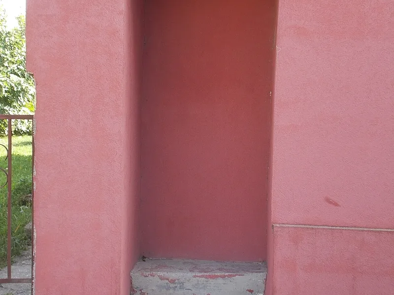
Érd, Hungary · 47.36°N 18.93°E
Dwelling building. Listed ID 17391. - 9 Szapáry Street, Ófalu, Érd, Pest County, Hungary.
Photo: Globetrotter19 / Wikimedia Commons · CC BY-SA 3.0
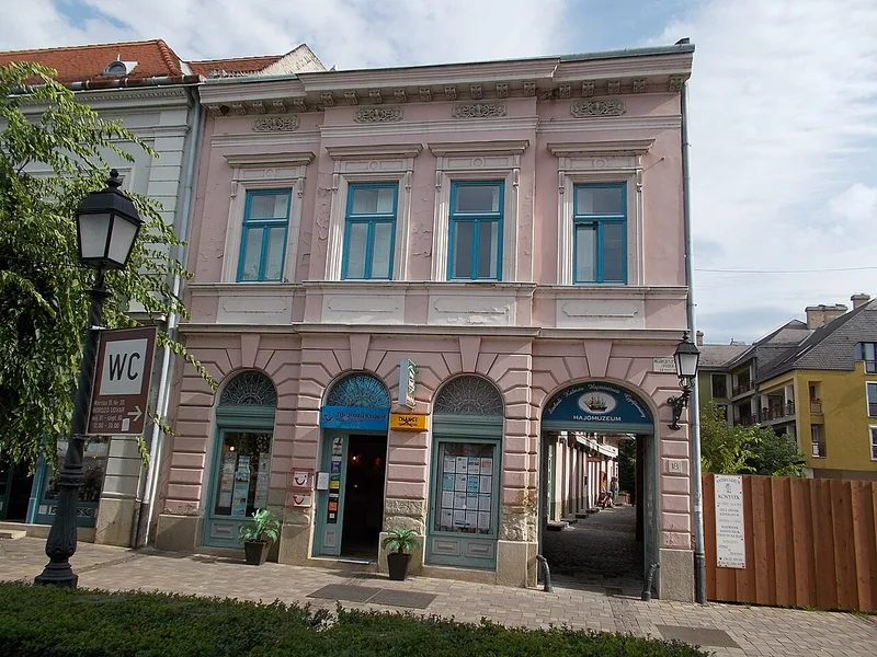
Vác, Hungary · 47.78°N 19.13°E
Ship Historical Collection. - 18., Március 15. Square, Vác, Hungary
Photo: Globetrotter19 / Wikimedia Commons · CC BY-SA 3.0
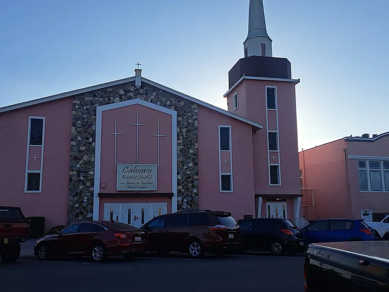
San Diego, United States · 32.70°N 117.14°W
719 Cesar E. Chavez Pkwy, San Diego, CA 92113
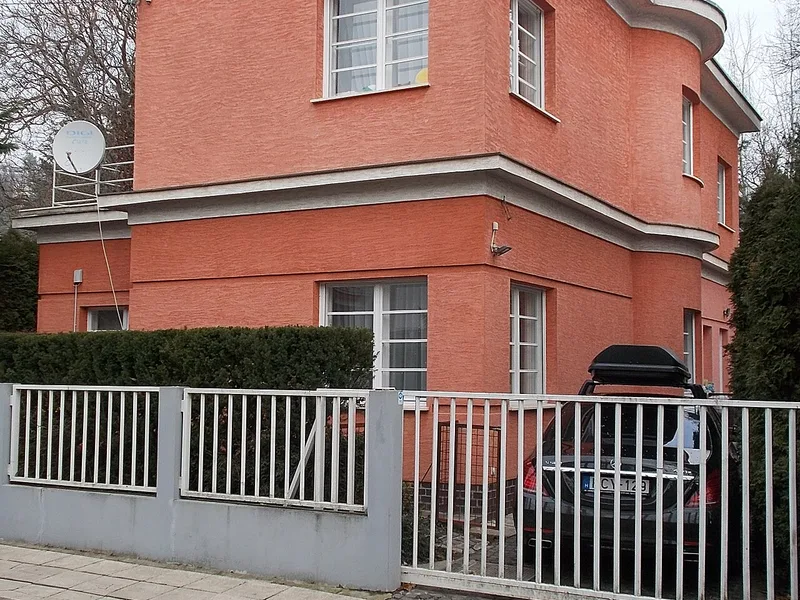
Budapest, Hungary · 47.53°N 18.99°E
Listed dwelling house planned by Andor Wellisch, part of a small flat housing estate, built in 1931. - 7 Napraforgó Street, Pasarét neighbourhood, Budapest District II.
Photo: Globetrotter19 / Wikimedia Commons · CC BY-SA 3.0
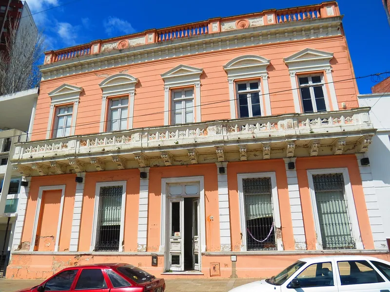
La Plata, Argentina · 34.91°S 57.94°W
This is a photo of an Argentine monument identified by the ID
Photo: Federico Pinto / Wikimedia Commons · CC BY-SA 3.0
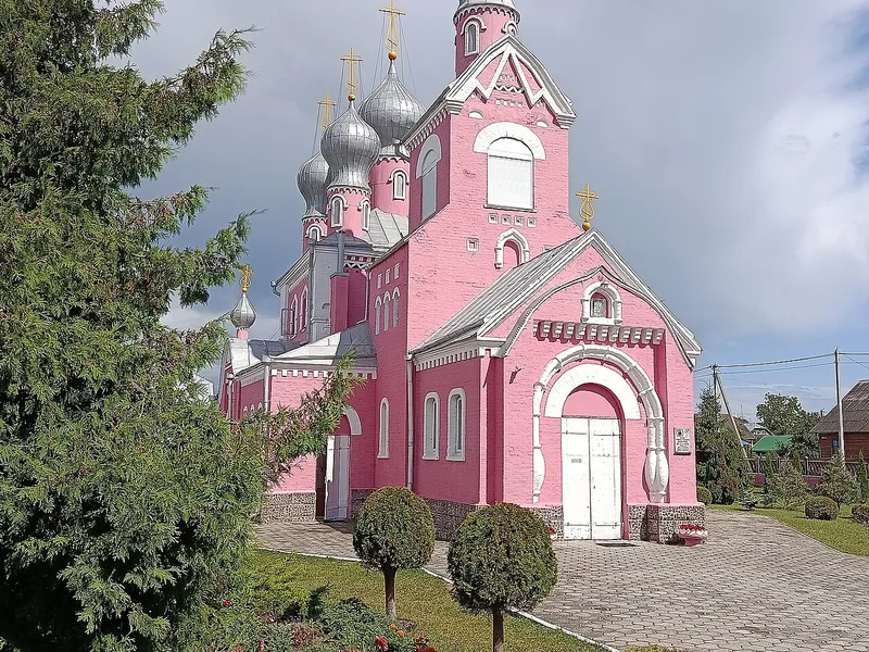
Davyd-Haradok, Belarus · 52.05°N 27.21°E
Church of the Holy Mother of Kazan in Davyd-Haradok
Photo: Igor Tkachiov / Wikimedia Commons · CC BY-SA 4.0
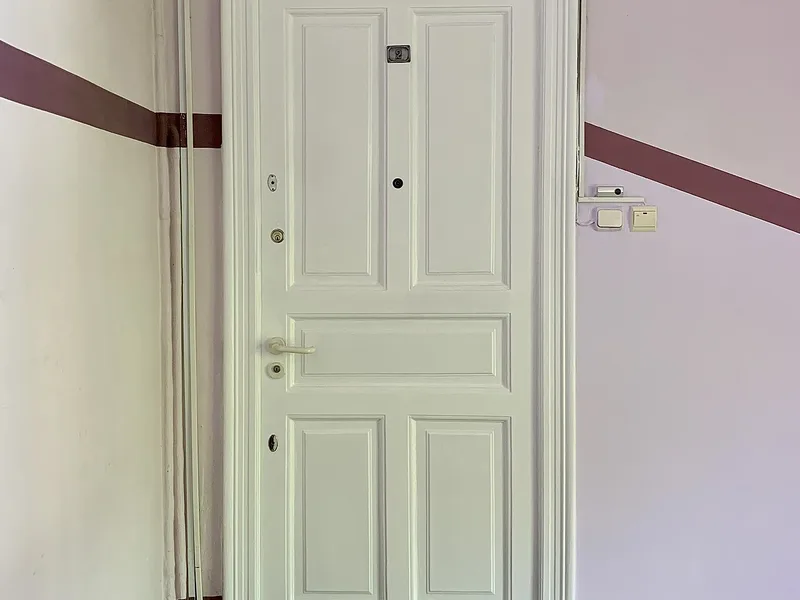
Bucharest, Romania · 44.43°N 26.08°E
33 Strada Doctor Lister, Bucharest
Photo: Neoclassicism Enthusiast / Wikimedia Commons · CC0
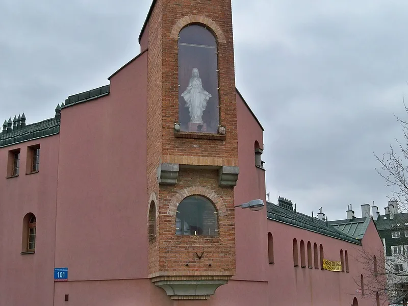
Warsaw, Poland · 52.16°N 21.03°E
Aleja KEN 101 w Warszawie. Kaplica przy kościele pw. Wniebowstąpienia Pańskiego oraz I Katolickim Liceum Społecznym.
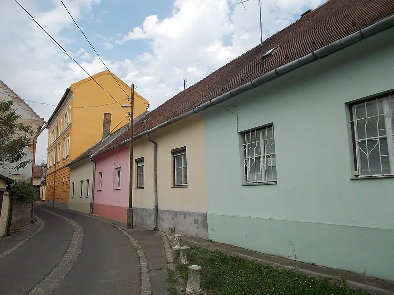
Vác, Hungary · 47.77°N 19.13°E
Coloured houses. - cca, 2., Bajcsy-Zsilinszky Endre Street, Vác , Pest County , Hungary.
Photo: Globetrotter19 / Wikimedia Commons · CC BY-SA 3.0
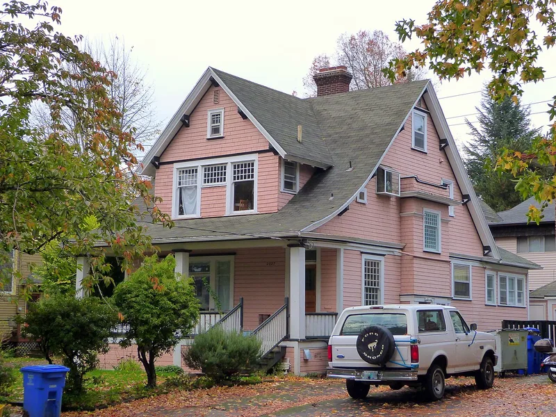
Portland, United States · 45.54°N 122.65°W
The historic Albert Courteney House and garage (built 1902), located at 2027 Northeast Schuyler Street in Portland , Oregon, United States, are listed as contributing resources in the Irvington Historic District .…
Photo: Ian Poellet / Wikimedia Commons · CC BY-SA 4.0
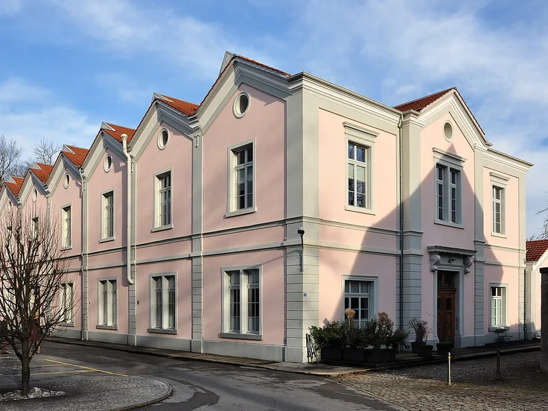
Rüti (ZH), Switzerland · 47.26°N 8.85°E
Amthofstrasse in Rüti ( Switzerland )
Photo: Roland zh / Wikimedia Commons · CC BY-SA 3.0
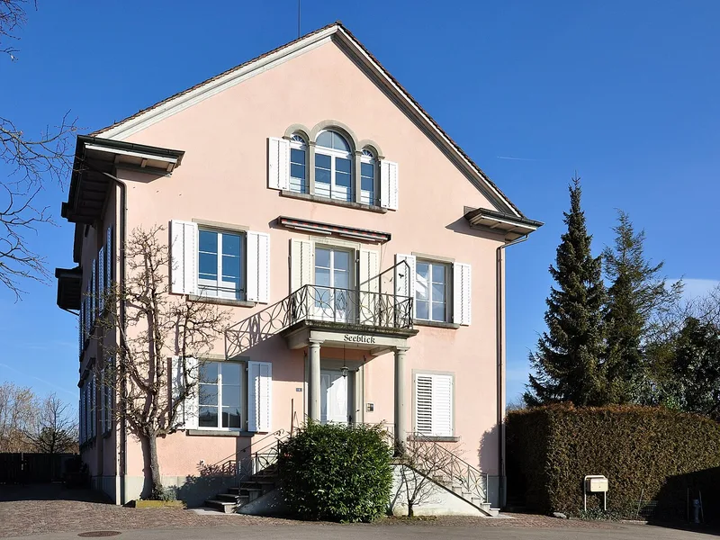
Hombrechtikon, Switzerland · 47.24°N 8.79°E
Feldbach ( Switzerland )
Photo: Roland zh / Wikimedia Commons · CC BY-SA 3.0
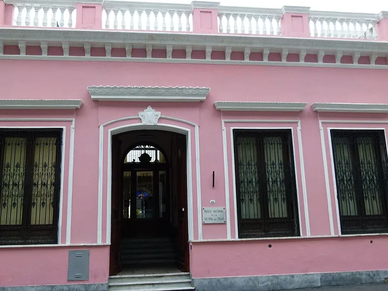
Buenos Aires, Argentina · 34.62°S 58.38°W
This is a photo of an Argentine monument identified by the ID
Photo: Irenef74 / Wikimedia Commons · CC BY-SA 3.0
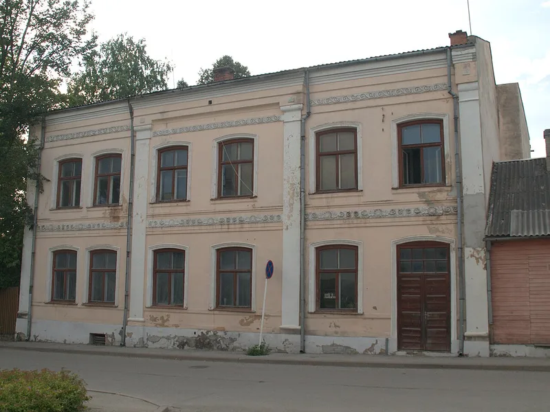
Valga city, Estonia · 57.78°N 26.03°E
Elamu Valgas Sepa tänav 10
Photo: Kyng / Wikimedia Commons · CC BY-SA 3.0 ee
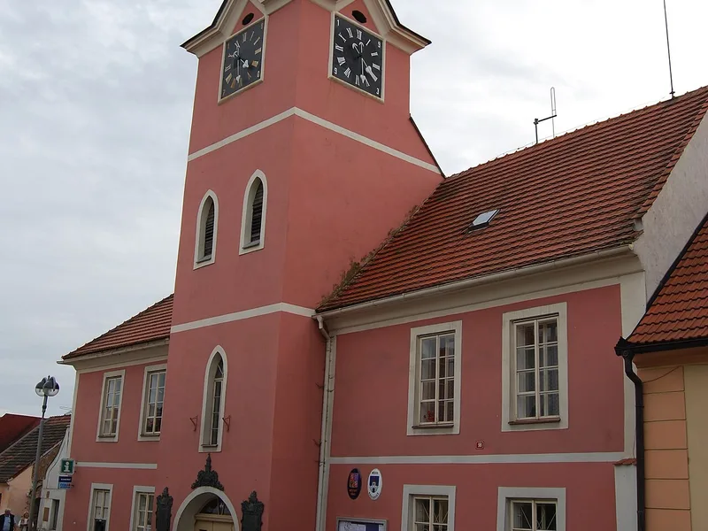
Kasejovice, Czechia · 49.46°N 13.74°E
Kasejovice town in Plzeň-jih District. Czech Republic. Town Hall with tourist information
Photo: Chmee2 / Wikimedia Commons · CC BY-SA 3.0
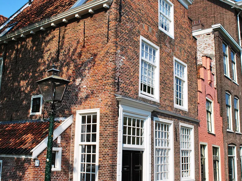
Amsterdam, Netherlands · 52.38°N 4.90°E
This is an image of rijksmonument number 24701 Information from structured data : location of creation : Leiden → South Holland → Netherlands depicts instance of : Groenhazengracht 3, Leiden → building with stepped…
Photo: Elisa.rolle / Wikimedia Commons · CC BY-SA 3.0 nl
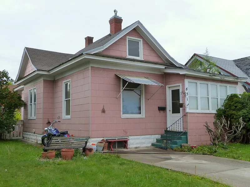
Twin Falls, United States · 42.56°N 114.48°W
The historic house (built ca. 1908) at 651 2nd Avenue North in Twin Falls , Idaho, United States, is listed as a contributing resource in the Twin Falls Original Townsite Residential Historic District. The historic…
Photo: Ian Poellet / Wikimedia Commons · CC BY-SA 4.0
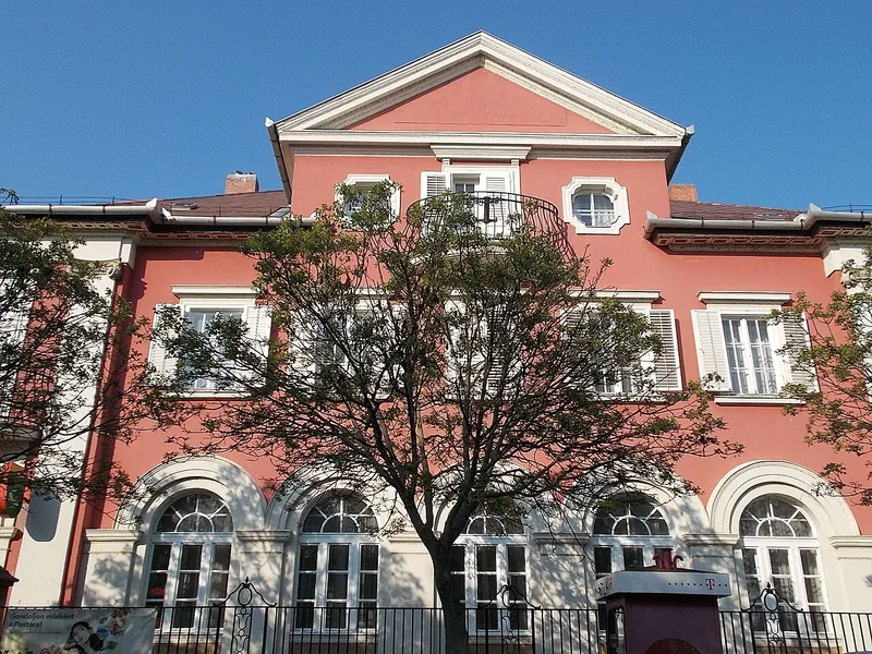
Balatonfüred, Hungary · 46.96°N 17.89°E
Post office. 14 Zsigmond Street, Balatonfüred, Veszprém County, Hungary
Photo: Globetrotter19 / Wikimedia Commons · CC BY-SA 3.0
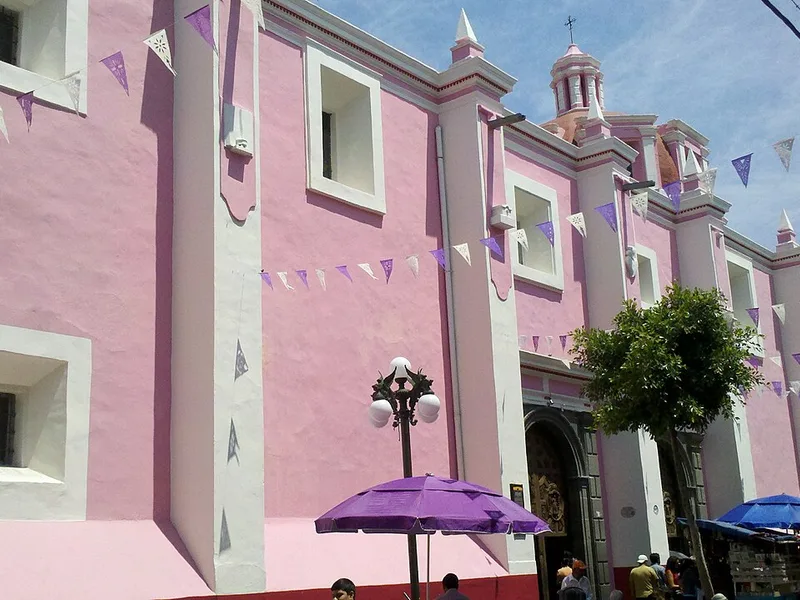
Puebla, Mexico · 19.05°N 98.19°W
Templo Conventual de Santa Mónica, Puebla, México. Siglo XVII. 5 de mayo 1607.
Photo: CUTI1 / Wikimedia Commons · CC BY-SA 3.0
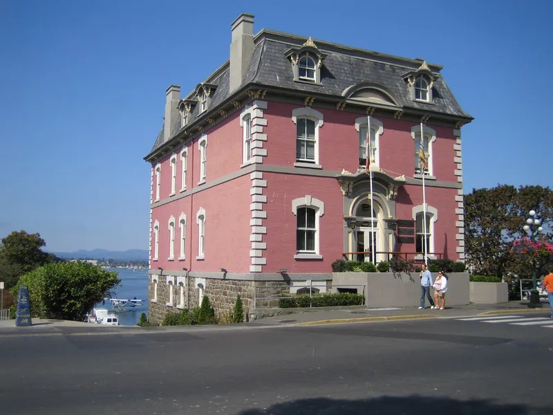
Victoria, Canada · 48.42°N 123.37°W
1002 Wharf Street offices building, Victoria, British Columbia, Canada
Photo: sergfokin / Wikimedia Commons · CC BY-SA 3.0
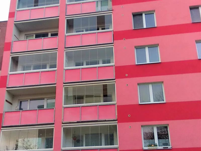
Olomouc, Czechia · 49.60°N 17.27°E
Česká republika, Olomouc, Černá cesta 2
Photo: Tomáš Raška / Wikimedia Commons · CC BY-SA 4.0
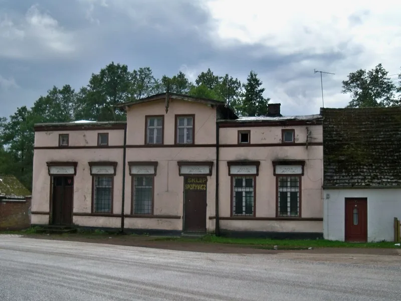
gmina Szydłowo, Poland · 53.26°N 16.78°E
Sklep spożywczy w Krępsku k. Piły
Photo: Panek / Wikimedia Commons · CC BY-SA 4.0
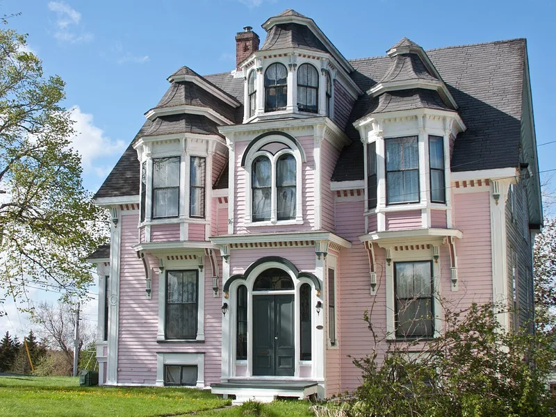
Lunenburg, Canada · 44.38°N 64.31°W
Allan R. Morash House
Photo: Stewx / Wikimedia Commons · CC BY-SA 3.0
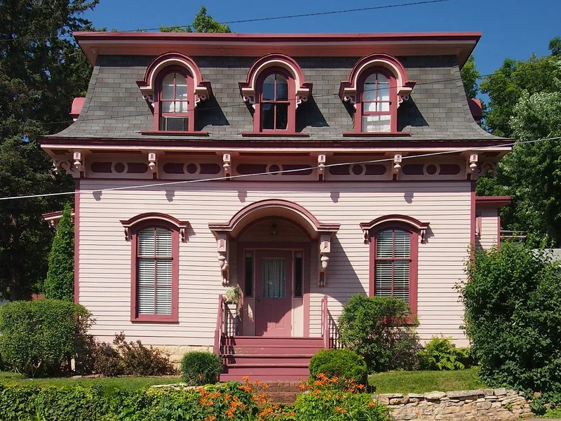
Stillwater, United States · 45.06°N 92.81°W
Ivory McKusick House , Stillwater, Minnesota, USA. Viewed from the east.
Photo: McGhiever / Wikimedia Commons · CC BY-SA 3.0
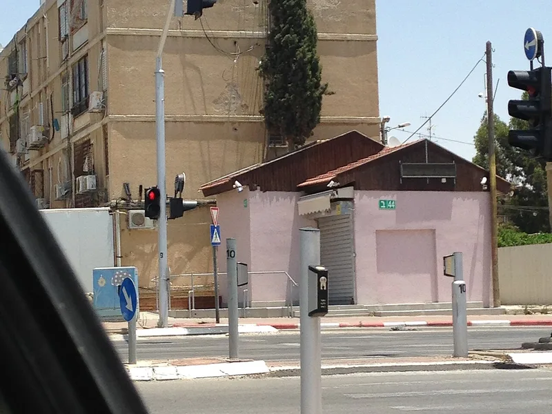
Be’er-Sheva, Israel · 31.26°N 34.79°E
Beersheba Shchuna D
Photo: רוחו של קפטן שנברנסון / Wikimedia Commons · CC BY-SA 4.0
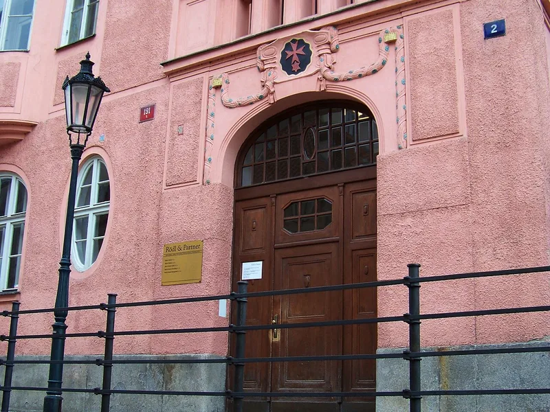
Prague, Czechia · 50.09°N 14.41°E
Prague - Old Town , the Czech Republic . Platnéřská 191/2, monastery of Knights of the Cross with the Red Star.
Photo: ŠJů ( cs:ŠJů ) / Wikimedia Commons · CC BY-SA 3.0
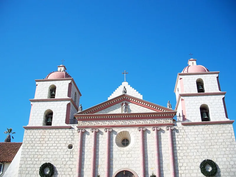
Santa Barbara, United States · 34.44°N 119.71°W
Chapel of Mission Santa Barbara . 2201 Laguna Street. Santa Barbara, California , USA
Photo: Eugene Zelenko (thanks to my friends Nickolov family for generous help and company) / Wikimedia Commons · CC BY-SA 4.0
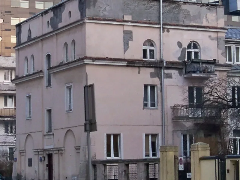
Warsaw, Poland · 52.22°N 21.01°E
Kamienica przy Filtrowej 7 w Warszawie.
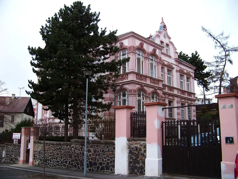
Teplice, Czechia · 50.64°N 13.83°E
Teplice , Teplice District , Ústí nad Labem Region , the Czech Republic . Potěminova 1082/1.
Photo: ŠJů ( cs:ŠJů ) / Wikimedia Commons · CC BY-SA 3.0
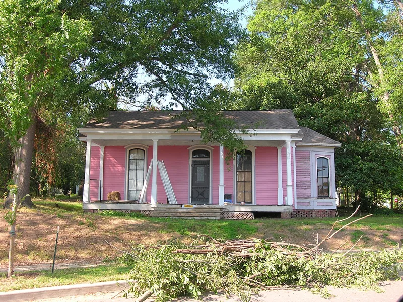
Jackson, United States · 35.62°N 88.82°W
Capt. H. P. Farrar House
Photo: Spencer Kellum / Wikimedia Commons · CC BY-SA 3.0
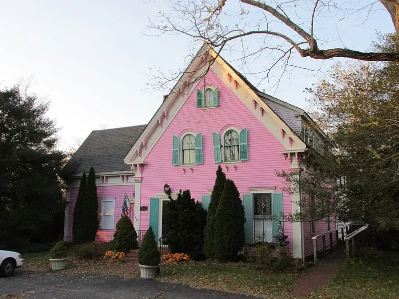
Barnstable, United States · 41.64°N 70.45°W
Isaiah Thomas Rare and Used Books in the Santuit Historic District , Santuit Massachusetts
Photo: John Phelan / Wikimedia Commons · CC BY-SA 3.0
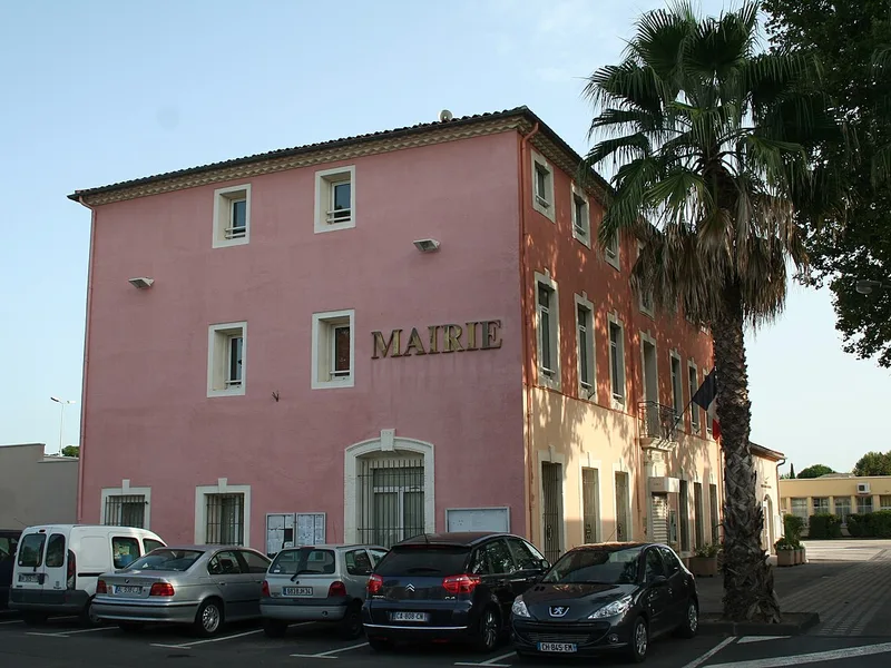
Florensac, France · 43.38°N 3.46°E
Florensac ( Hérault ) - mairie.
Photo: Fagairolles 34 / Wikimedia Commons · CC BY-SA 4.0
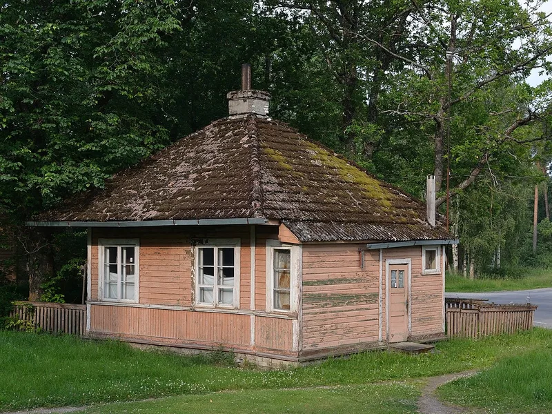
Põhja-Sakala vald, Estonia · 58.47°N 25.54°E
Saku station former house
Photo: Iifar / Wikimedia Commons · CC BY-SA 3.0
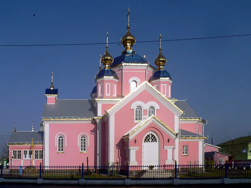
Kovel, Ukraine · 51.22°N 24.70°E
Воскресенська церква (1877 р.) - вигляд з півдня - м.Ковель (вул.Незалежності 174) Волинська область Україна
Photo: Viacheslav Galievskyi / Wikimedia Commons · CC BY-SA 3.0
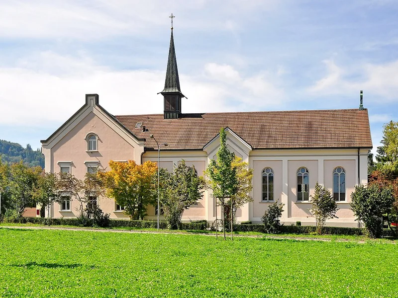
Pfungen, Switzerland · 47.52°N 8.64°E
Pfungen ( Switzerland )
Photo: Roland zh / Wikimedia Commons · CC BY-SA 3.0
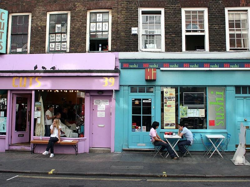
City of Westminster, United Kingdom · 51.51°N 0.13°W
Colorfully painted shop windows in a typical Soho backstreet in London. 39-40 Frith Street, Soho, London W1.
Photo: Octagon / Wikimedia Commons · Public domain
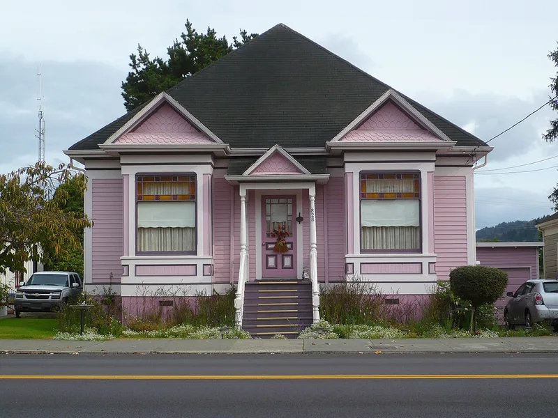
Ferndale, United States · 40.58°N 124.26°W
The pink house, 828 Main Street, immediately to the south of Ferndale, California 's Town Hall.
Photo: Ellin Beltz / Wikimedia Commons · CC BY-SA 3.0
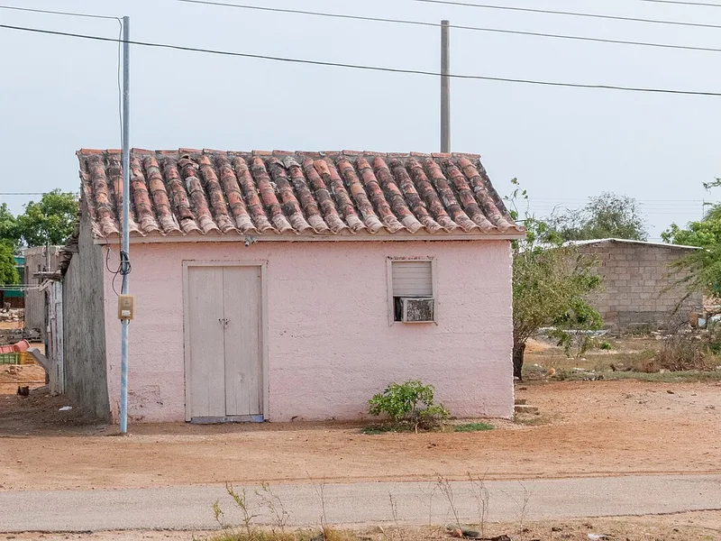
Laguna de Raya, Venezuela · 10.93°N 64.12°W
Small freestanding pale-pink colonial house with a weathered clay-tile roof, double wooden door, and shuttered window in Laguna de Raya, Margarita Island, Venezuela.
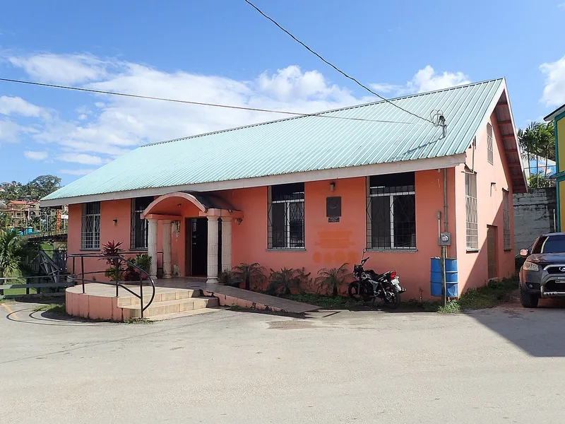
San Ignacio & Santa Elena, Belize · 17.16°N 89.07°W
San Ignacio Public Library in Belize
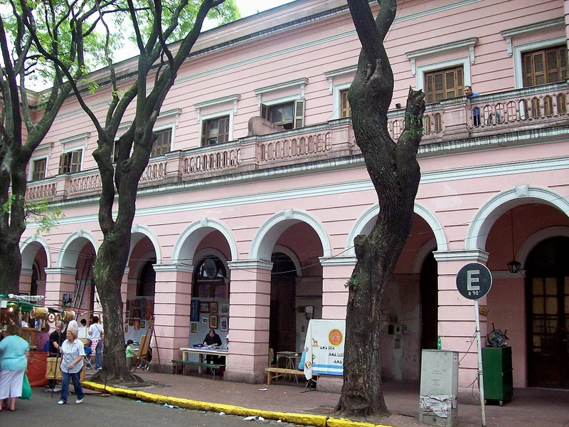
Buenos Aires, Argentina · 34.66°S 58.50°W
Ex Mercado Nacional de Hacienda in Mataderos, Buenos Aires city.
Photo: User:Roberto Fiadone / Wikimedia Commons · CC BY-SA 3.0
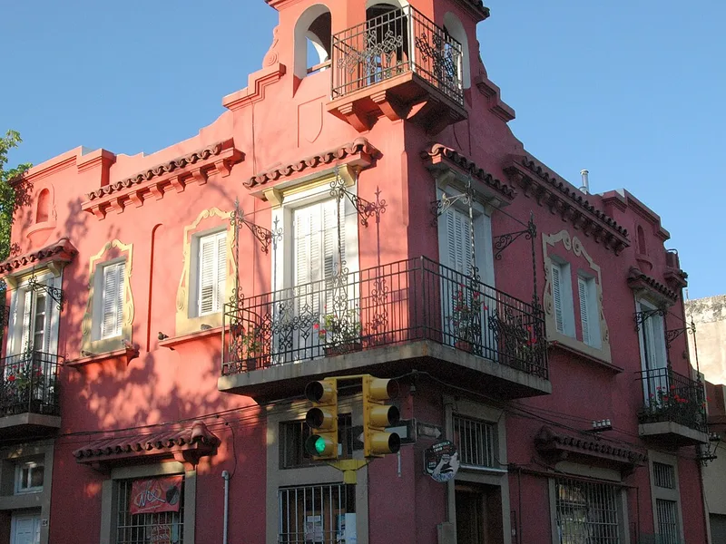
Montevideo, Uruguay · 34.90°S 56.18°W
Calle Paysandu esquina Minas
Photo: Andrés Franchi Ugart… / Wikimedia Commons · CC BY-SA 3.0
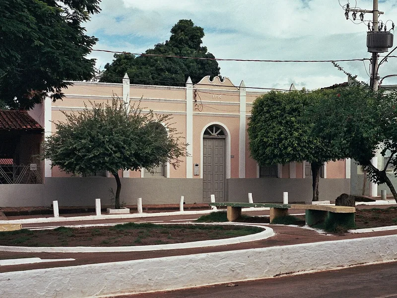
Poconé, Brazil · 16.27°S 56.63°W
Em Poconé, Mato Grosso. Foto com correção de perspectiva e ajuste de contraste. Pentax K1000 - Pentax 50mm f/2.0. Filme Fuji Superia 400
Photo: Mateus Hidalgo / Wikimedia Commons · CC BY-SA 2.0
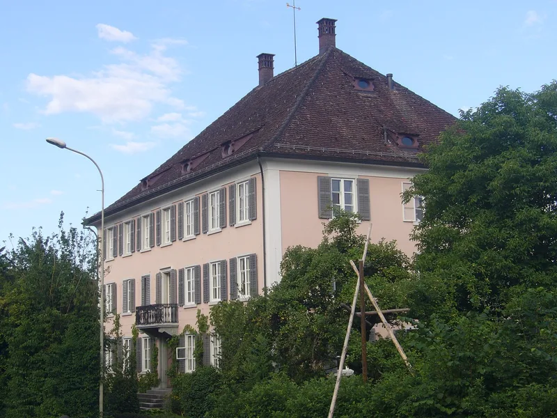
Bassersdorf, Switzerland · 47.44°N 8.63°E
Ehemaliger Gasthof zum Adler.
Photo: Abderitestatos / Wikimedia Commons · CC BY 3.0
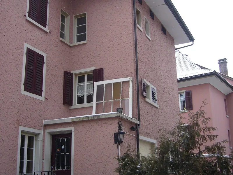
Illnau-Effretikon, Switzerland · 47.43°N 8.69°E
Blick von der Bruggwiesenſtraß auf Theyl eines Wohnhauſes an der Bahnhofſtraß.
Photo: Abderitestatos / Wikimedia Commons · CC BY 3.0
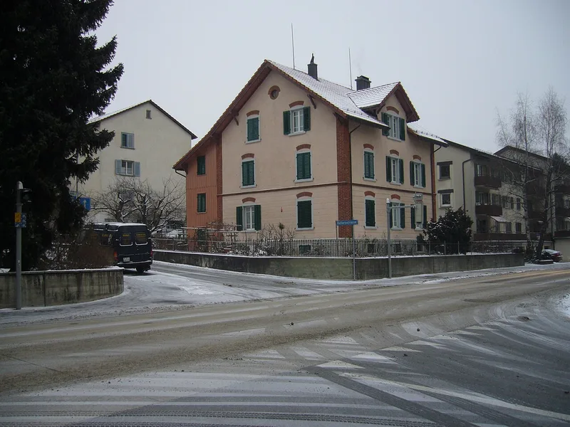
Wallisellen, Switzerland · 47.41°N 8.59°E
Wohnhaus an der Neugůtſtraß zů Walliſellen.
Photo: Abderitestatos / Wikimedia Commons · CC BY 3.0
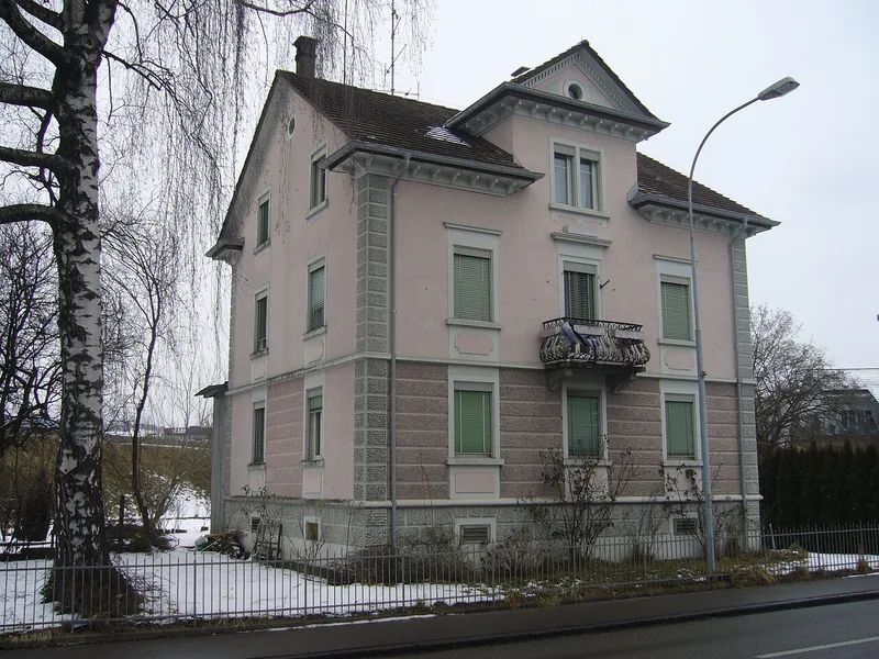
Wetzikon (ZH), Switzerland · 47.33°N 8.80°E
Wohnhaus an der Uſterſtraß zů Ober-Wetzikon.
Photo: Abderitestatos / Wikimedia Commons · CC BY 3.0
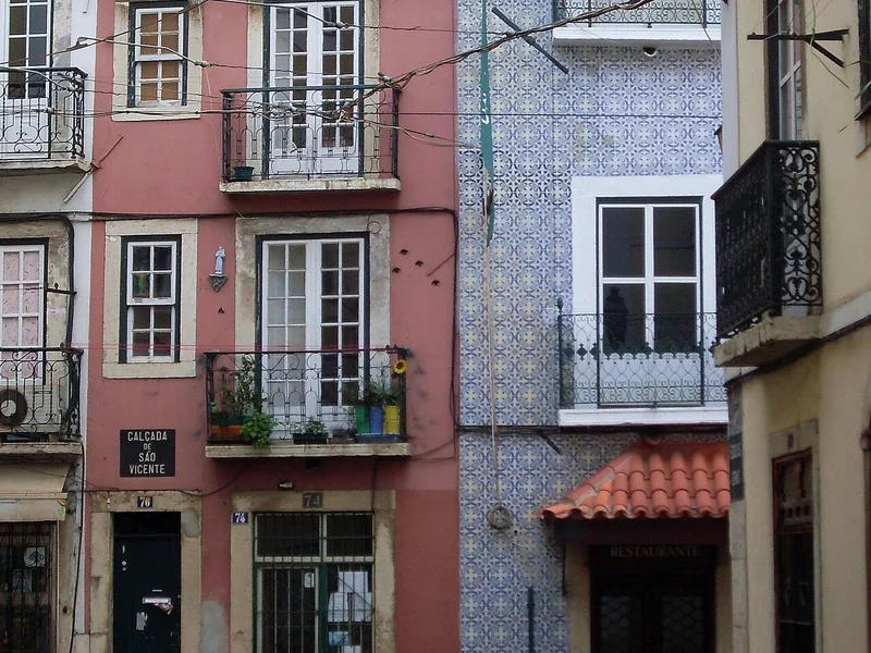
Lisbon, Portugal · 38.71°N 9.13°W
Lissabon in de winter van 2014.
Photo: Plaats / Wikimedia Commons · CC BY-SA 3.0
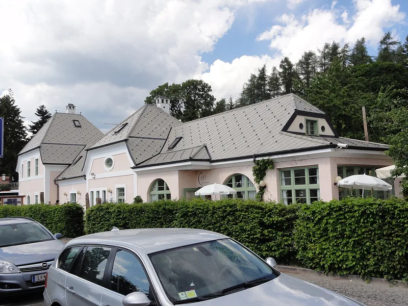
Bolzano, Italy · 46.54°N 11.46°E
Bahnhofsgebäude Klobenstein bei Bozen
Photo: User:Mattes / Wikimedia Commons · Public domain
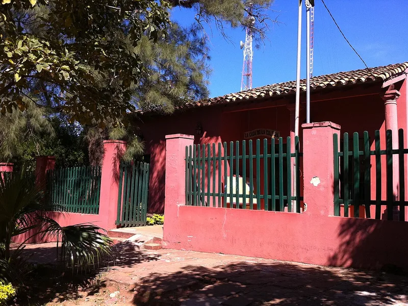
Coronel Oviedo, Paraguay · 25.44°S 56.44°W
Casa de la Cultura de Coronel Oviedo Paraguay
Photo: Va de Carro / Wikimedia Commons · CC BY 3.0
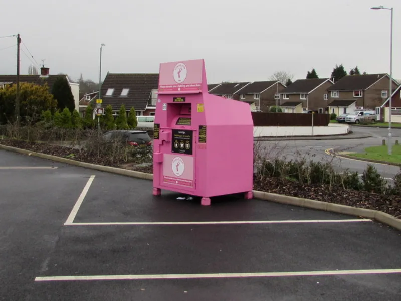
Caldicot, Wales · 51.59°N 2.75°W
A bright pink donation bank at the edge of a supermarket car park.
Photo: Jaggery / Wikimedia Commons · CC BY-SA 2.0
No places match.
Photos: Pexels and Wikimedia Commons. Authors and licenses are on each card; full details and source links are in credits.html. Images are cropped to 4:3 and resized; CC BY-SA adaptations remain under the same license.
Coordinate data and geocoding: © OpenStreetMap contributors, ODbL. No map tiles are loaded by this page.